
The program for this project is a student center at the International Residential College at UVa - a site typically regarded as ostracized from the rest of grounds.
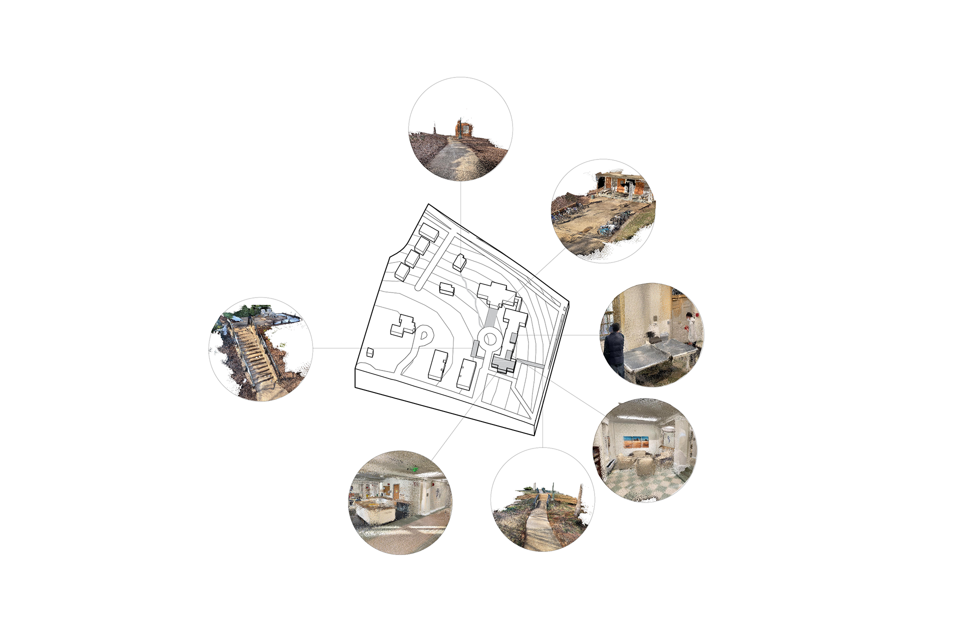
In order to begin to understand what types of existing social landscapes are on-site my group and I began scanning interior spaces and mapping them in section.
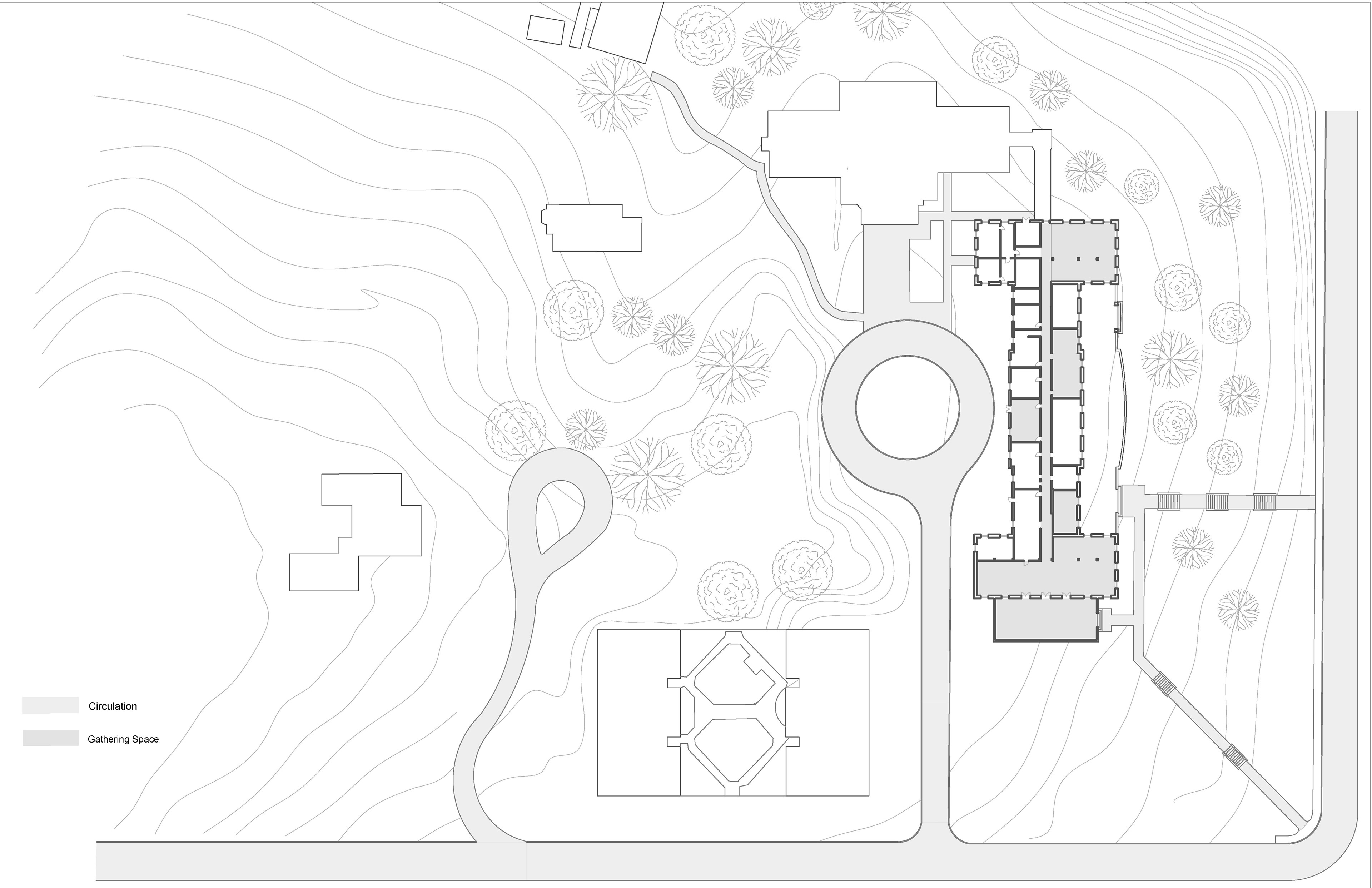
Not only is the College segmented from the rest of the university, but it is segmented from itself. The site diagram you see here communicates that all social programs across the 11 buildings in the site are focused in one.
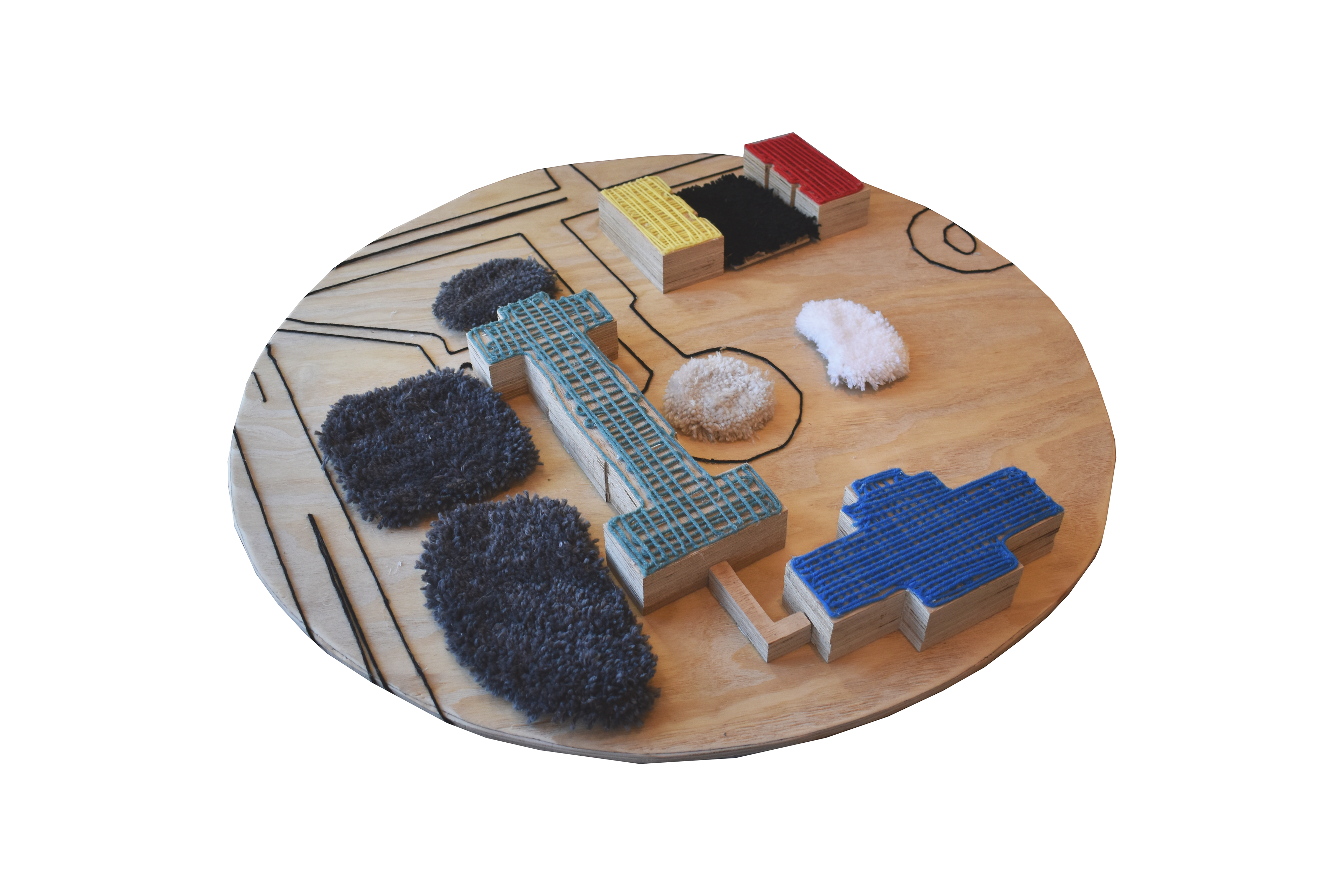
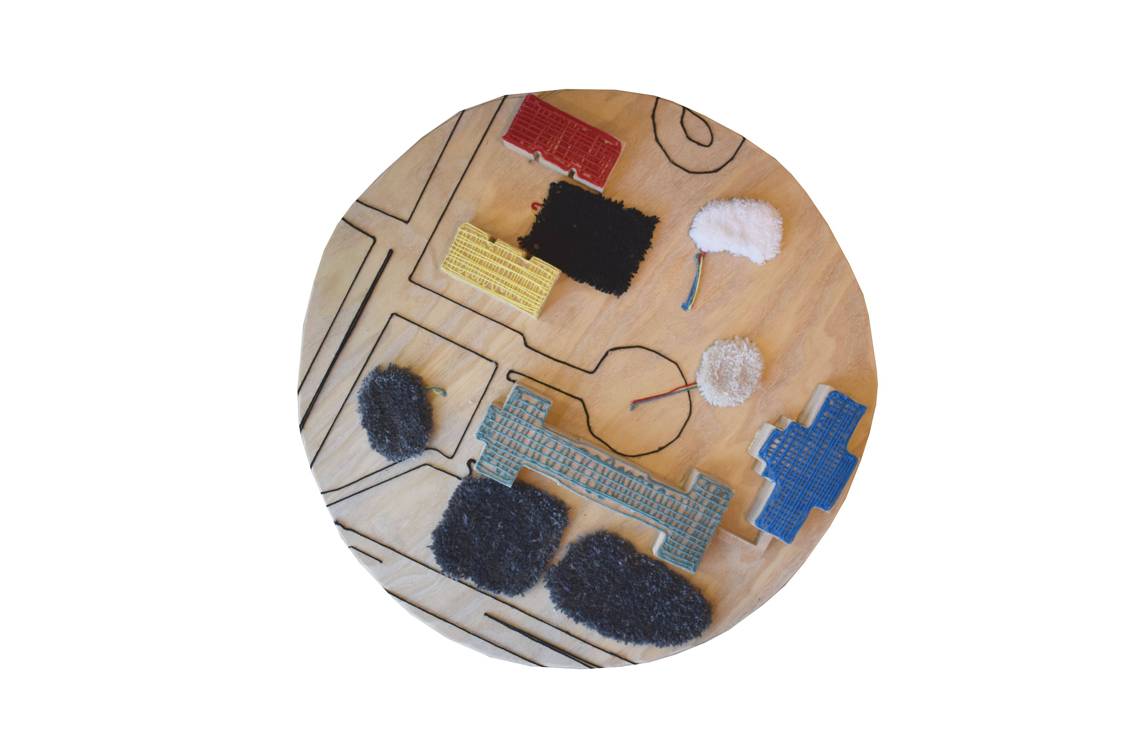
When beginning to think of breaking ground, it was important to us to maintain areas of outdoor comfort given the high-stress environment of the college. Since we wish to keep the historic existing buildings, it became a challenge to find a place to take up land footprint. This model uses tufted pieces to display outdoor areas of comfort. The colors convey how movable they are, white being the most, black being the least. Attached to the undersides of each are pieces of yarn that convey movability but also what building they are tied to. After playing around with each piece and their extents this model allowed us to settle on a location on site.
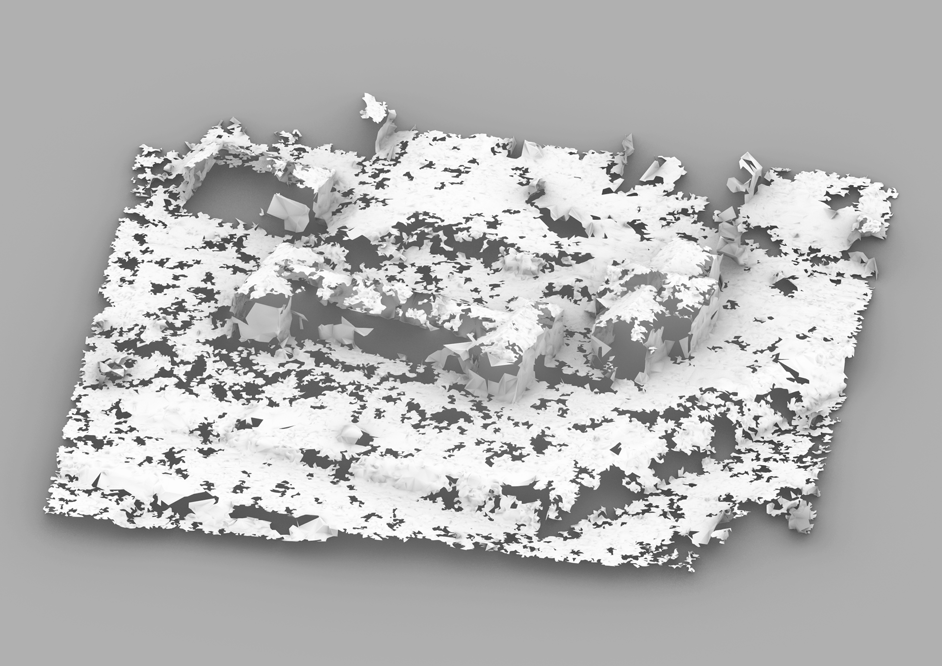
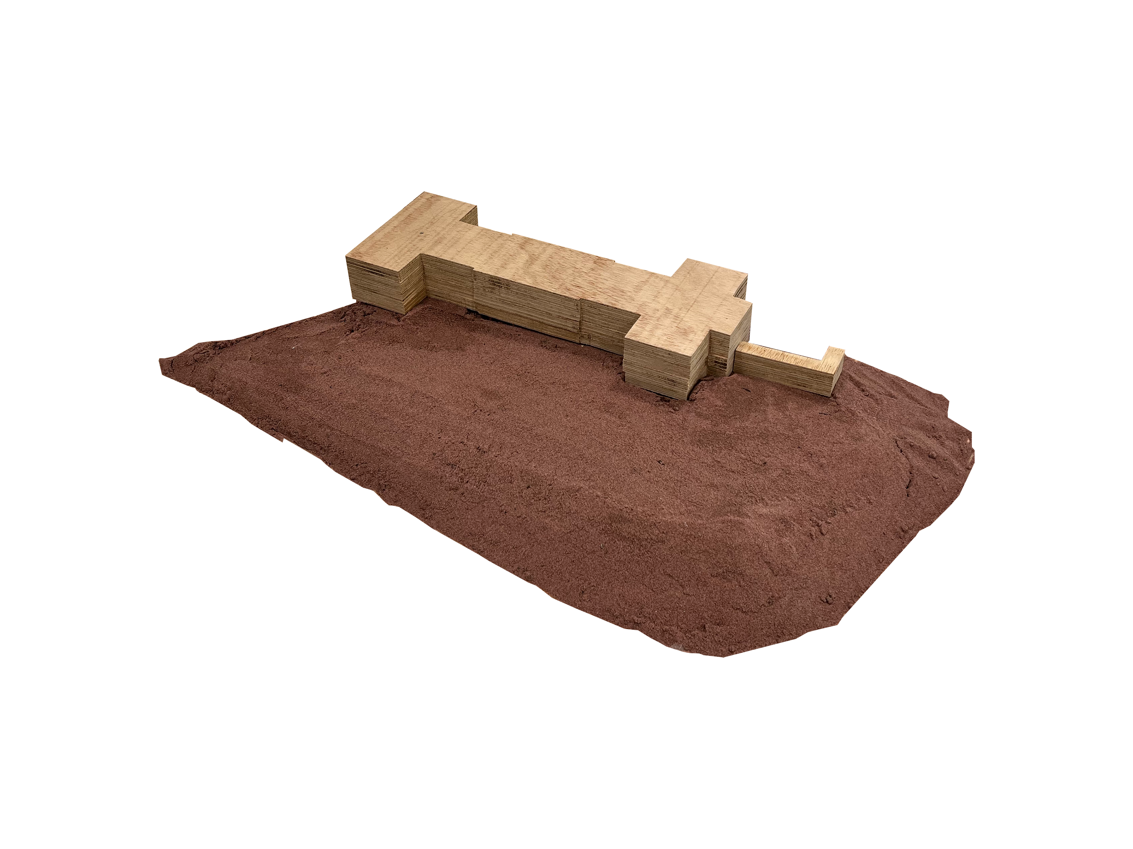
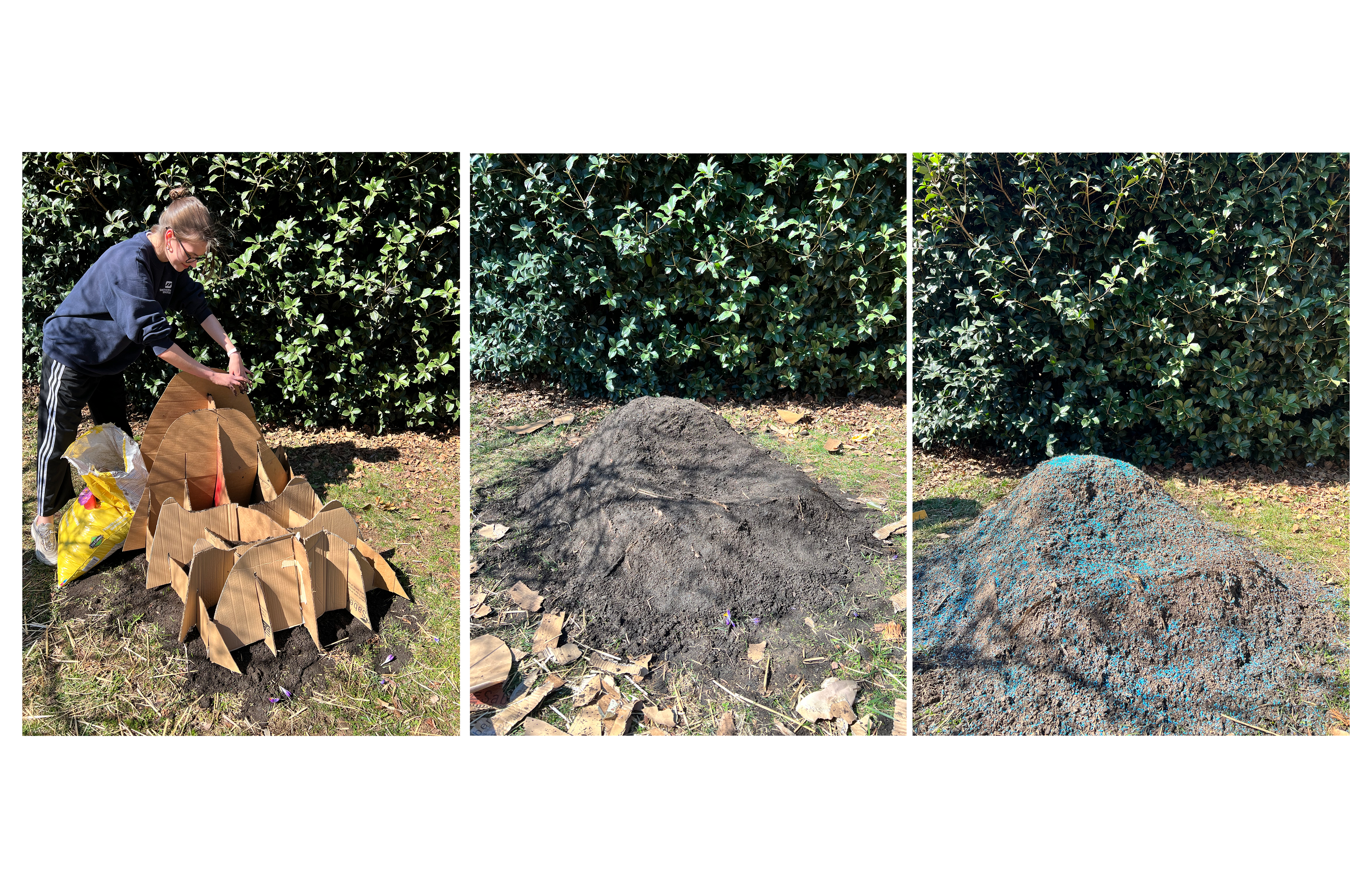
Due to a lack of accurate topographic information, we had to create our own topography models. The process was quite long but fun and insightful in many ways. It starts with pulling LiDAR data and bringing it into Rhino, from there you turn the point cloud into a broken mesh by using a plugin RhinoResurf. From there we put it into the Microsoft Hololens and sculpted it out of sand. Scanned the sand model and point edited for further accuracy.
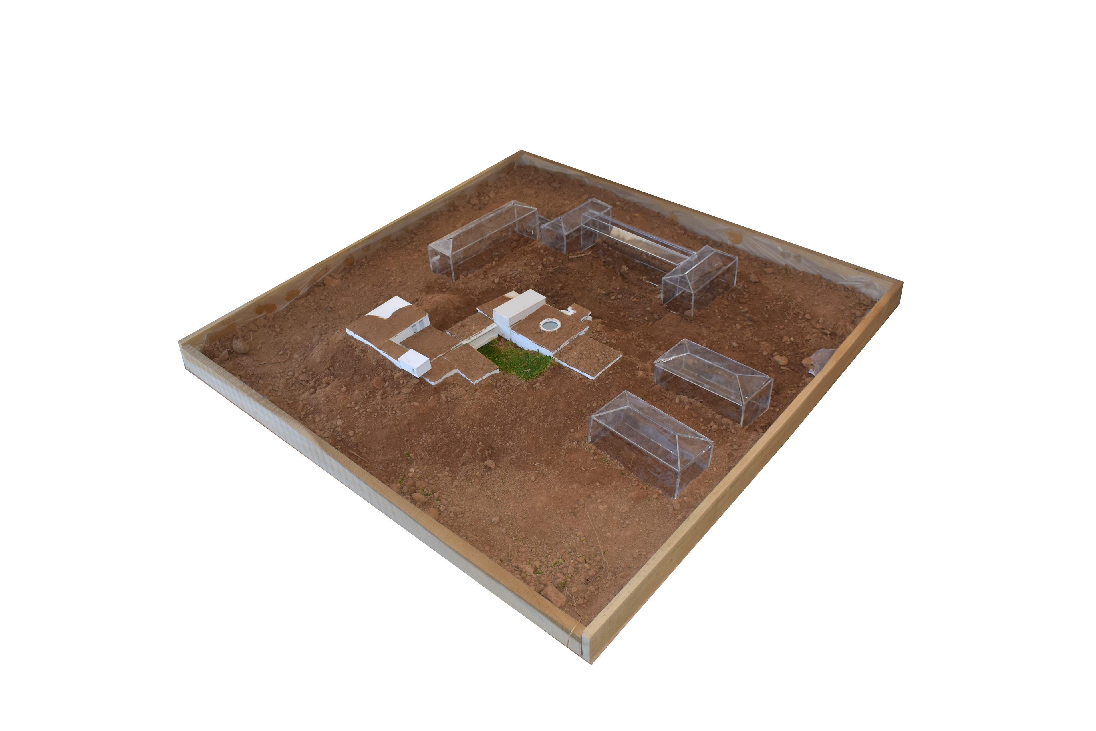
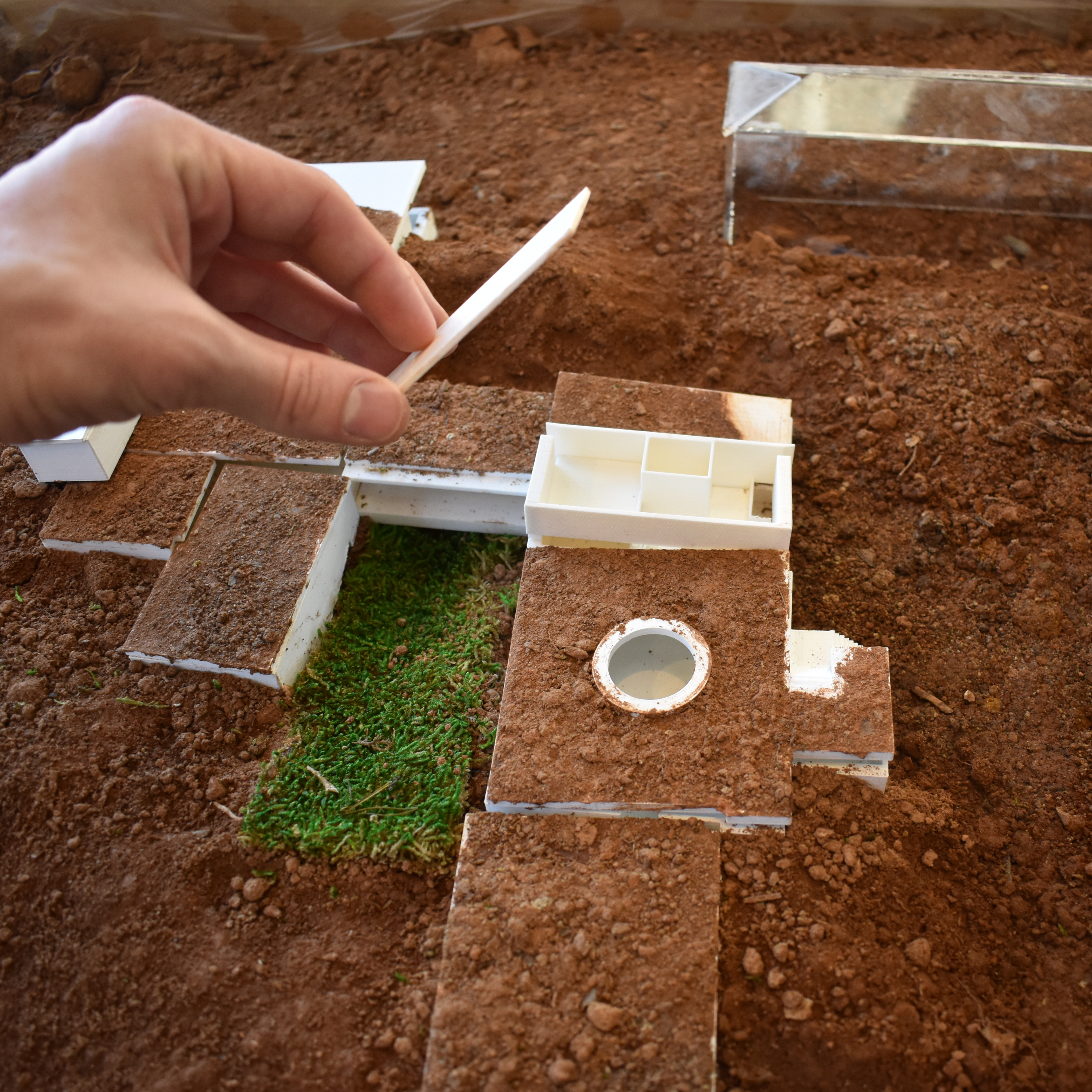
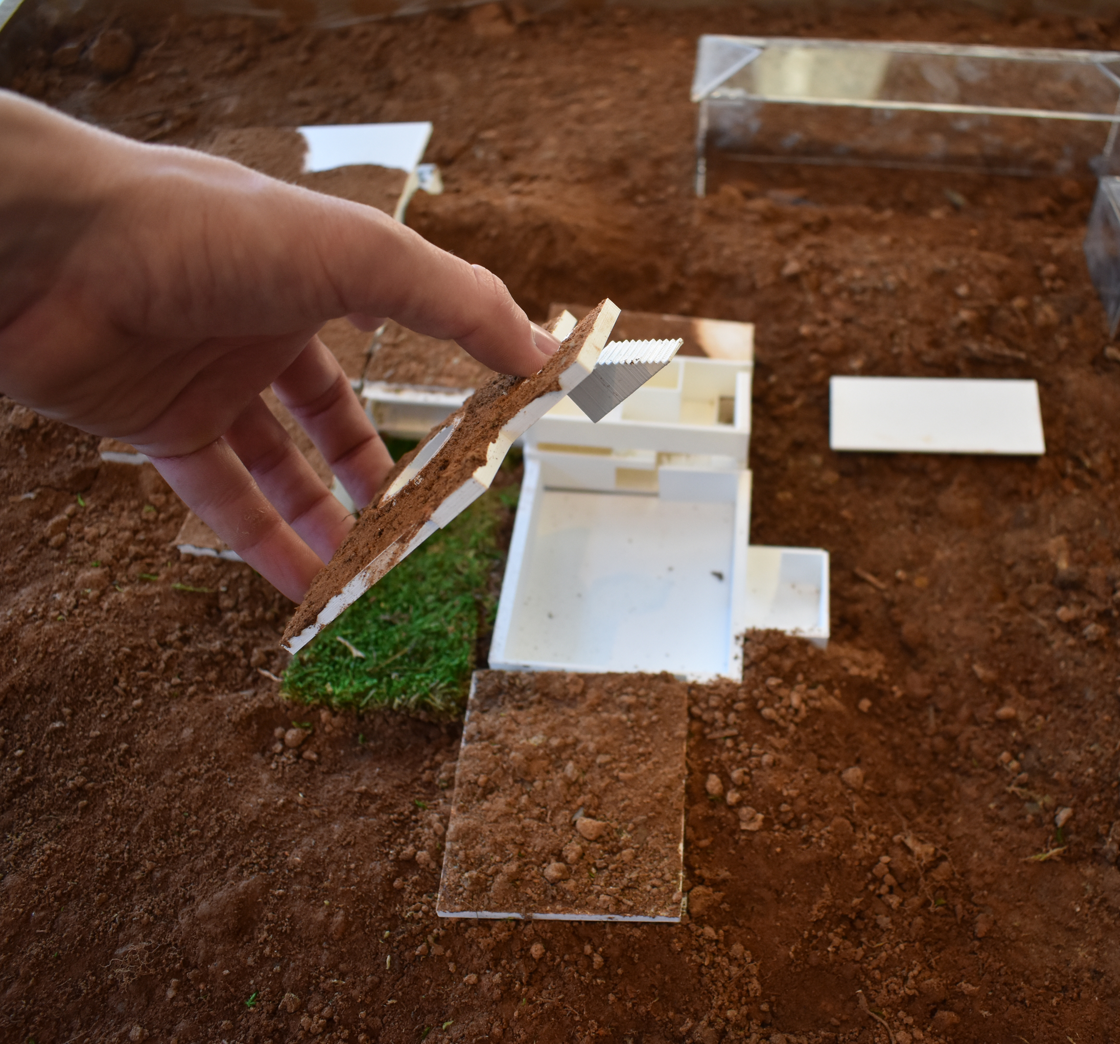
The segmented model above serves as a working model for us. Allowing us to begin to update certain floorplans of rooms and the topography that flows around in parts, saving us time, money and effort until we finalize our design.
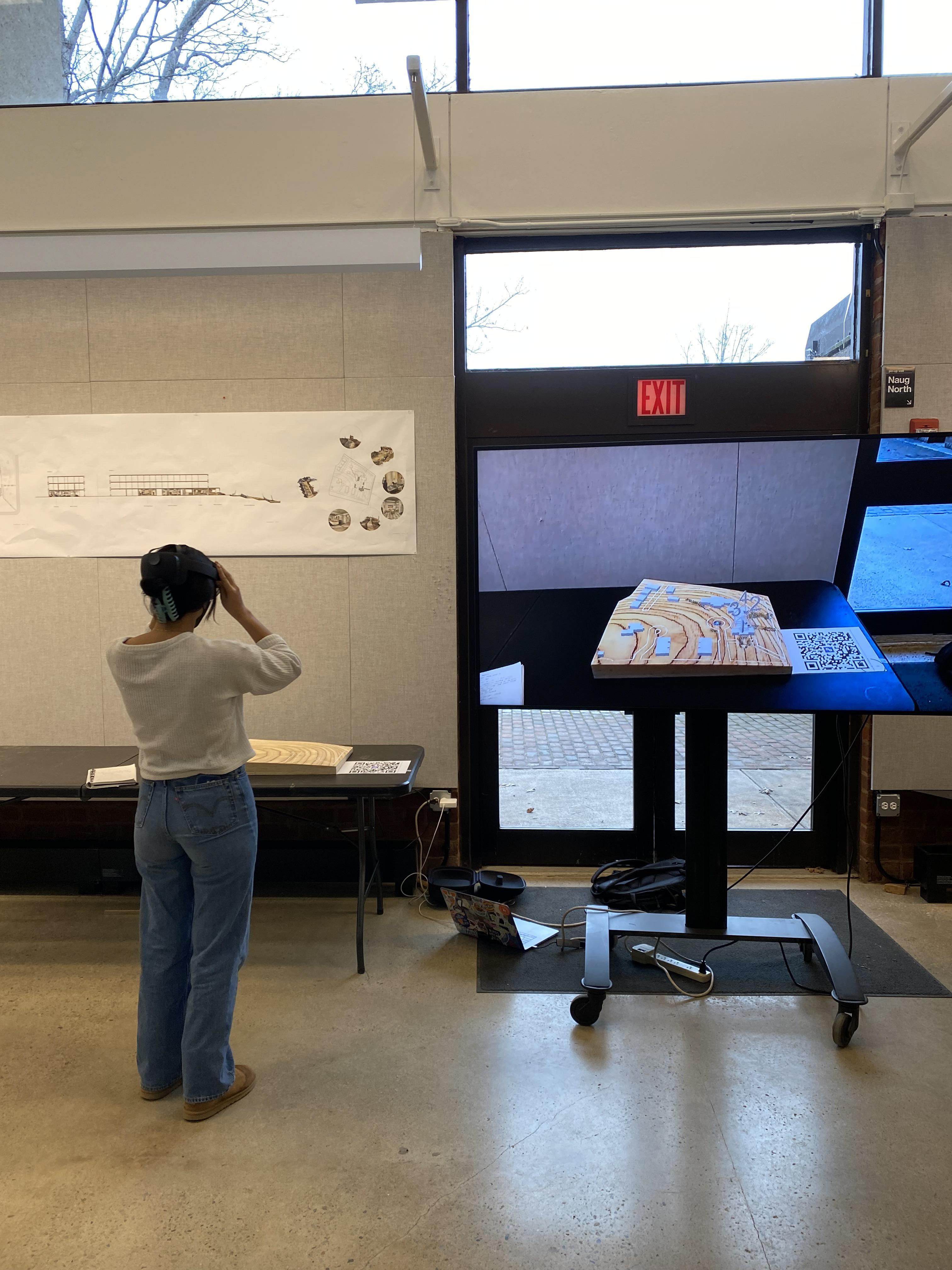
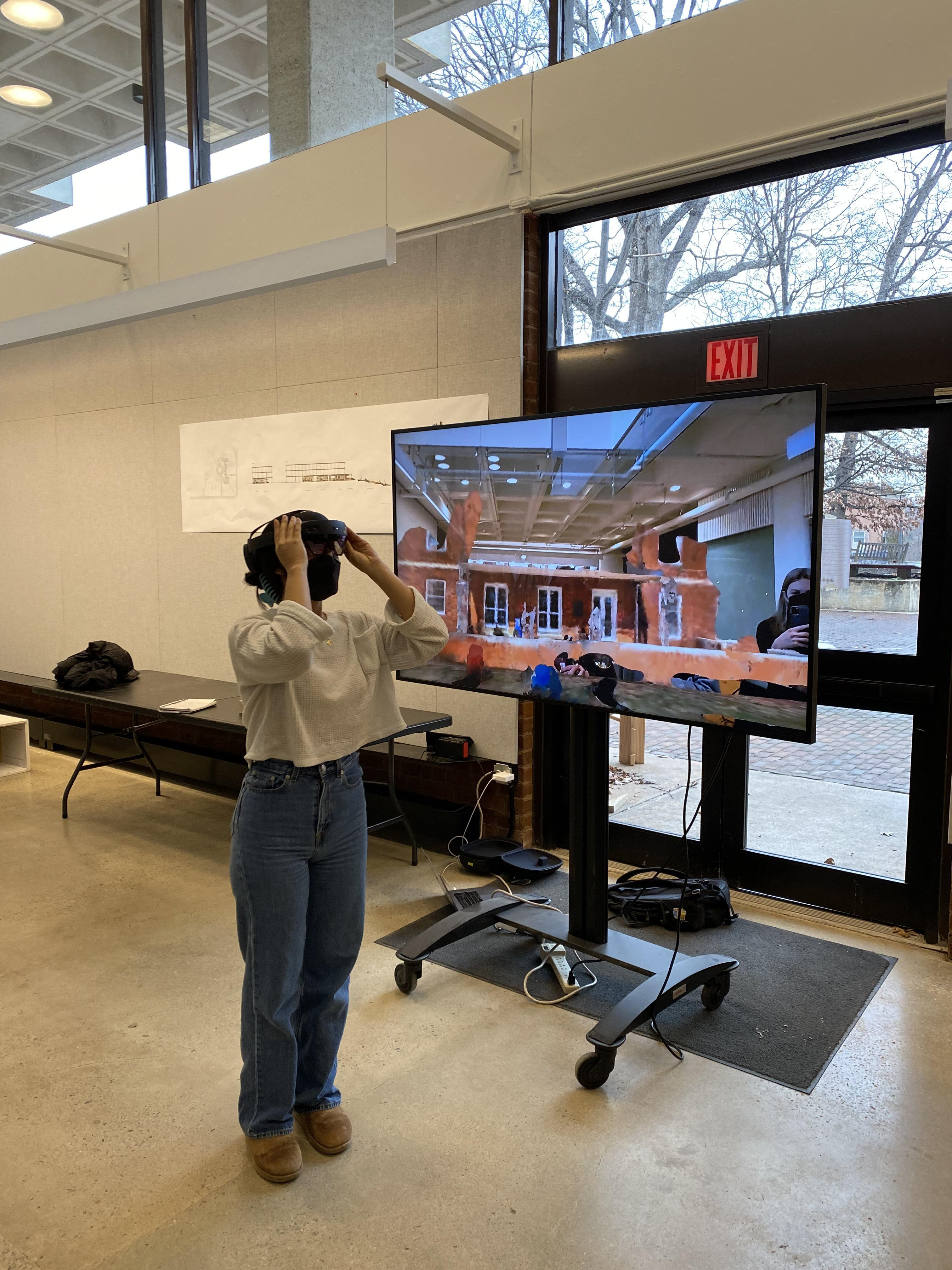
In order to provide our classmates with the necessary site context before diving deep into the project, we decided to fully immerse them in a mixed reality model.
The model topography was CNC-Milled out of 1/2" ply and overlayed with building context that correlated to 3D interior and exterior environmental scans in the surrounding space.
With this model, anyone is able to understand the complexities of the existing buildings on our site without actually ever having to visit it.
A classmate experiencing the model.
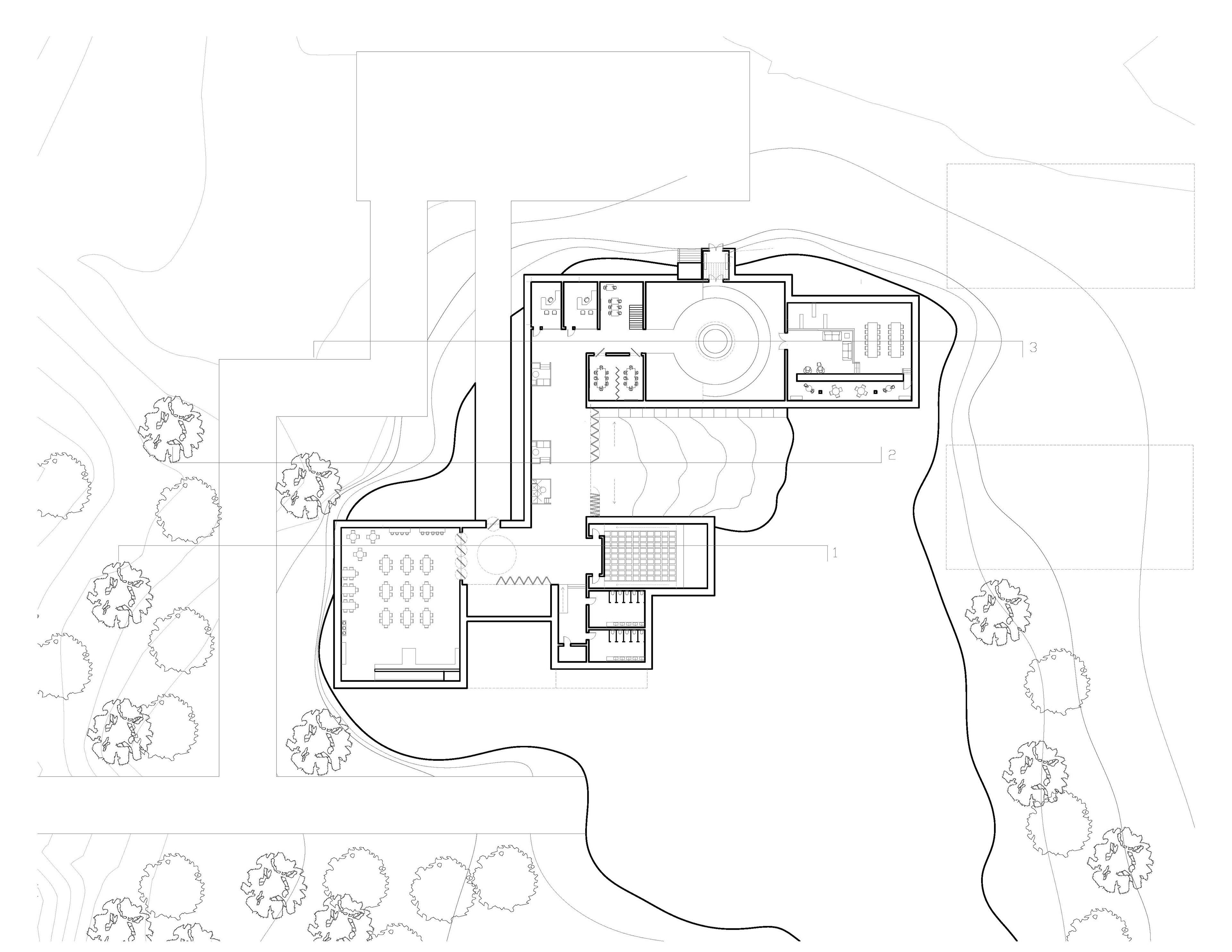
The current scheme of our building groups programs specifically for the International Residential College students (community-based) towards the back, and the programs for the larger university towards the front (study-based). The two buildings are brought together with a great sunken indoor/outdoor courtyard that can be accessible from the top of the building as well as the interior.
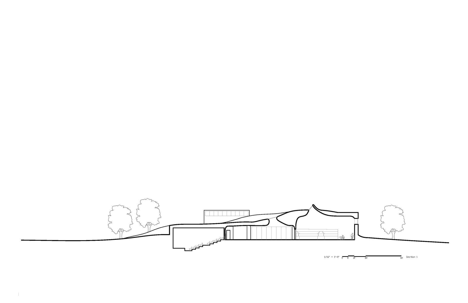
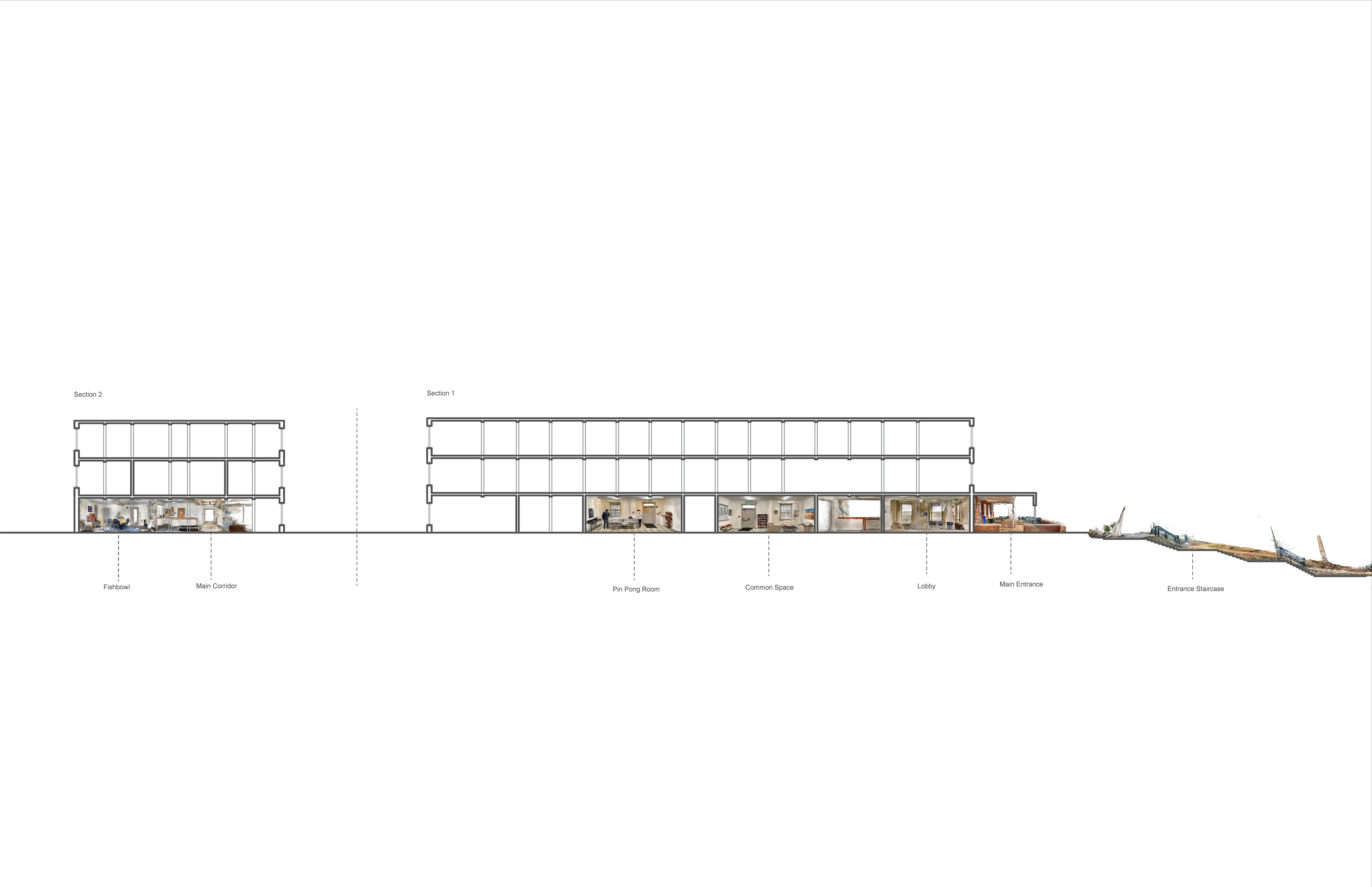
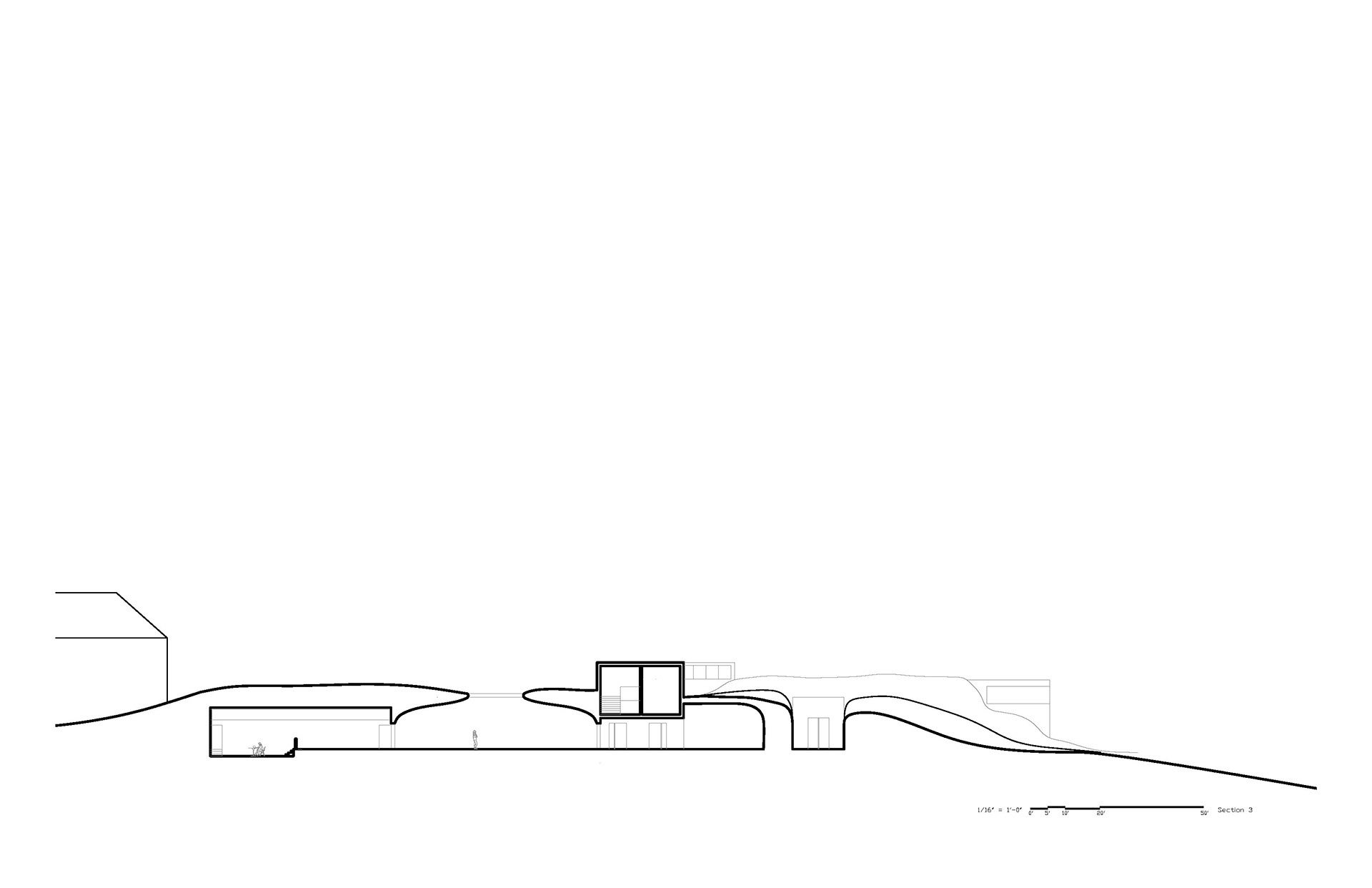
Due to the project's embedded nature, sectional lighting experimentation has come to the forefront of our creative process
Here we begin to understand how the courtyard connects the building to surface-level topography.
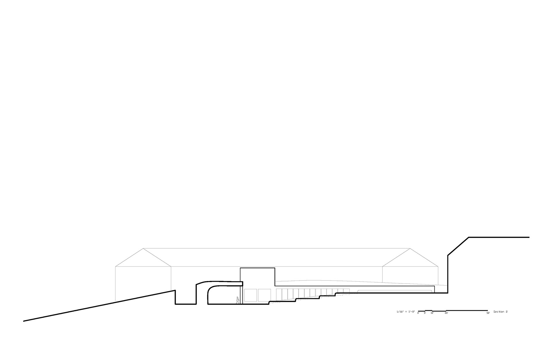
This section running through the library and study hall hints at what parts of the building may be able to be seen through the ground.
An important concept for the project is the fact that our building will quite literally be growing the landscape. Here is a prototype for a full-scale grass chair that we will employ in our project. The design is not set and will come later in the process, this is just a proof of concept. We have been approved for an installation on the Architecture School's grounds and are currently waiting for grant funding. Our project will be designed down to the furniture, inside and out, as that is essential for a successful student center.